Scenic Drives

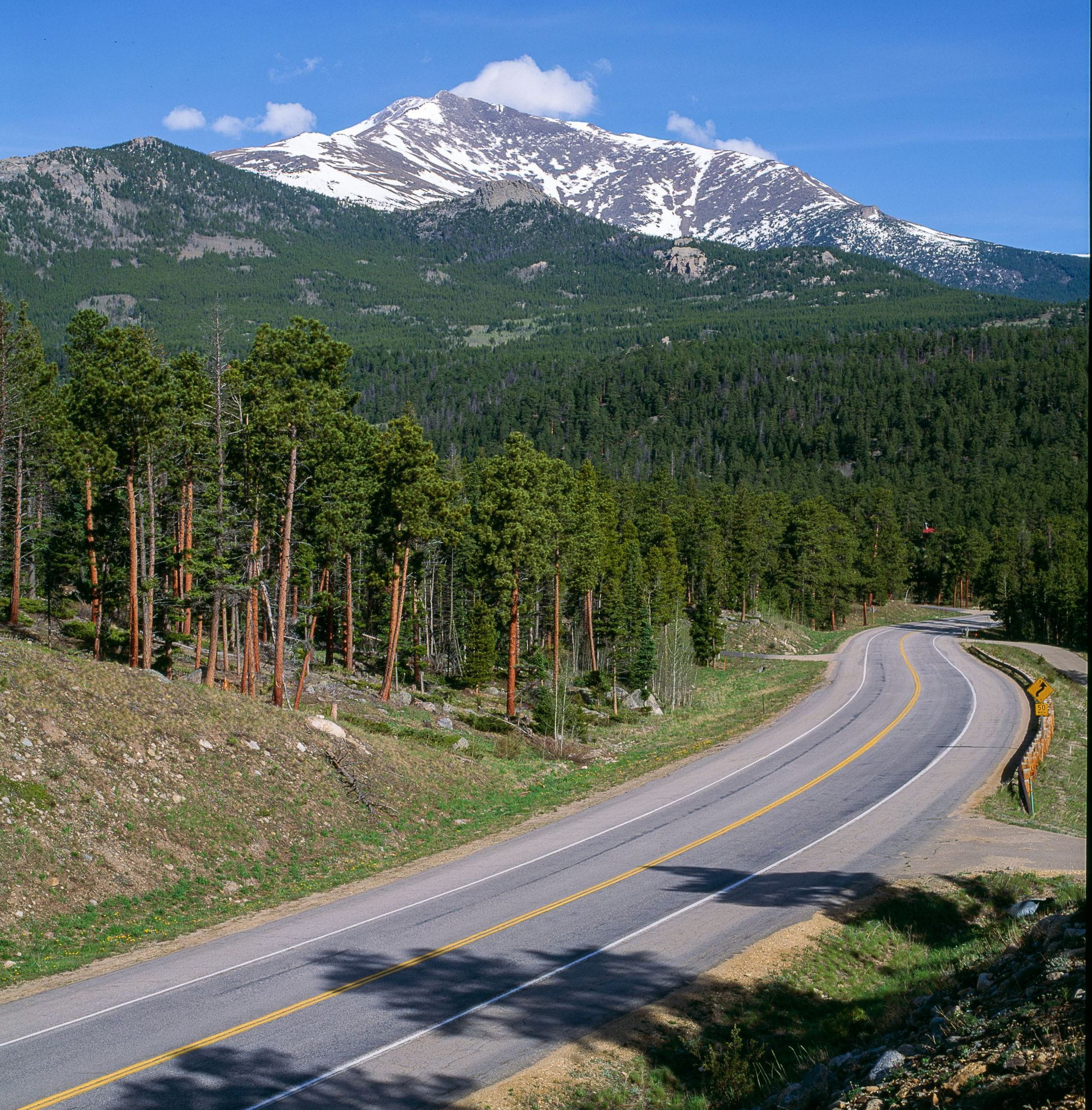
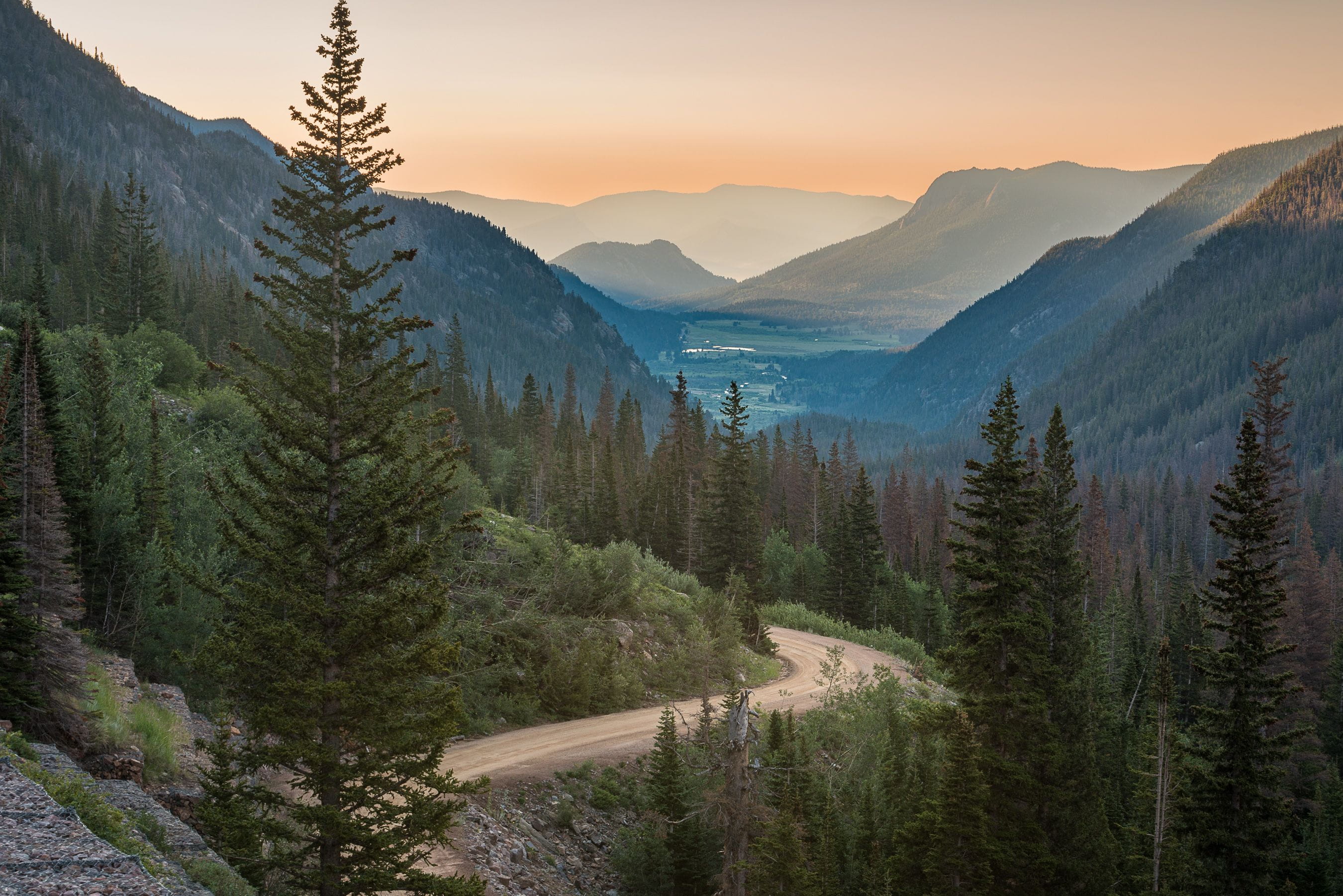
Estes Park is surrounded by winding roads through stunning canyons and dazzling mountain landscapes.
Main Routes
From Loveland, US Hwy 34 is a two-lane road that crisscrosses the Big Thompson River as it travels through the sheer rock walls of The Narrows in the Big Thompson Canyon.
This spectacular drive passes through and opens into the Estes Valley. Bighorn sheep heep can often be spotted on the hillsides.
If you are traveling to Estes Park through Lyons, you’ll likely come up US Hwy 36 through the North St. Vrain Canyon.
The drive through Roosevelt National Forest offers open vistas and spectacular views of mountains and meadows. As US Hwy 36 approaches Estes Park, it crests a hill that overlooks the Estes Valley with an impressive view of Mummy Range. Stop at the Estes Park sign and take a picture.
Driving the Glen Haven Loop
This is a nice loop that follows the Big Thompson River and the North Fork of the Big Thompson River.
Start by driving east, or down US Hwy 34, 13.5 miles to Drake and turn left onto CR 43. This roads winds eight miles up to Glen Haven. After enjoying a cinnamon roll at The General Store (tell them we sent you!), the road climbs out of the valley up tight switchbacks to one of the best views in the area.
Continue on (now Devils Gulch Road) enjoying the view past MacGregor Ranch and back into town.
The Road Less Traveled
If you have the time, drive the slightly longer, more scenic CO Hwy 7 between Lyons and Estes Park.

When you reach Lyons, turn left, or south, onto CO Hwy 7 and drive past Ferncliff, Allenspark, and Meeker Park. Once the road turns north toward Estes Park, you’ll drive past the beautiful St. Malo Church with Longs Peak towering above. Stop at the Tahosa Coffee Shop located in the building behind the church. The road then descends into Estes Park.
A Stunning Drive
The Peak to Peak Scenic Byway is one of the most stunning drives in Colorado, especially in the fall when the aspen are turning. From Estes Park, travel south on CO Hwy 7 past Allenspark.
Turn right onto CO Hwy 72 and continue to Ward and Nederland. Here, you can take CO Hwy 119 east to Boulder through Boulder Canyon (not part of the byway) or continue south on CO Hwy 119 to Central City and Black Hawk. The byway ends at US Hwy 6 (Clear Creek Canyon Road) where you can connect with I-70.
Historic Trip – Old Fall River Road
Completed in 1920 with convict labor, Old Fall River Road is a steep, gravel road that travels one way from the Endovalley picnic area to the Alpine Visitor Center. Before reaching the beginning of Old Fall River Road, you’ll pass the Alluvial Fan, a massive scar left after the 1982 Lawn Lake flood. The landscape was altered again by the 2013 flood.
The scenic, nine-mile road travels beside Fall River and the shoulder of Mt. Chapin. Narrow, with several switchbacks and no guardrails, this challenging road forces the motorist to slow down and explore. (No trailers or vehicles over 25ft.)
There are pull-offs to enjoy the expansive views and a small parking lot at Chasm Falls.
The road ends at the Alpine Visitor Center. Take Trail Ridge Road west to Milner Pass and Grand Lake, or east back to Estes Park.
The road usually opens around the 4th of July. Snow usually closes the road in late September or early October.
For this drive, you will need a timed-entry permit, or be in the park before 8:45am or go into the park after 2pm.