Goosenecks State Park
435-678-2238 • StateParks.Utah.gov/parks/goosenecks

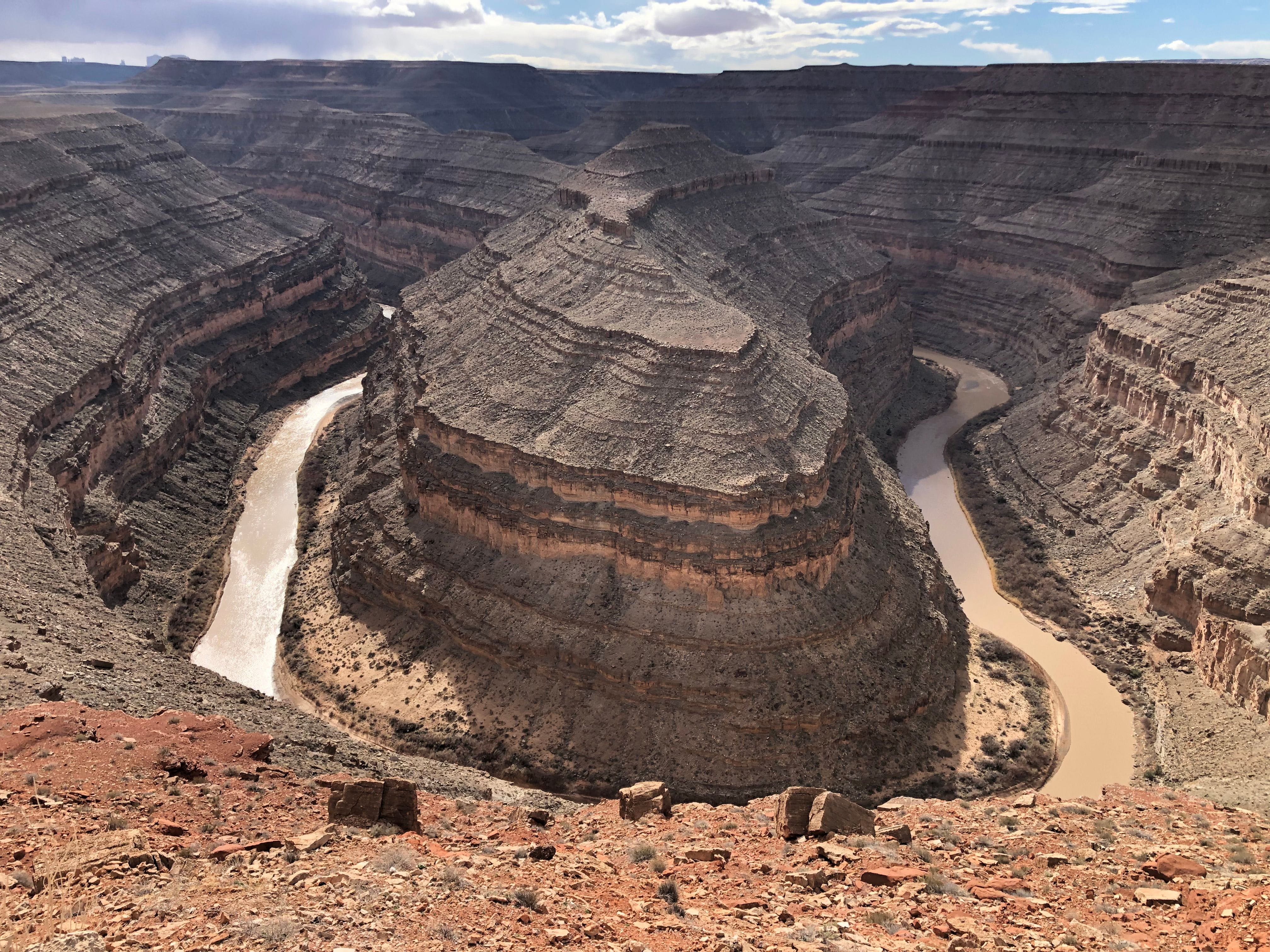
The Goosenecks of the San Juan River are a series of tight loops—or “goosenecks”—made by the river as it flows towards the Colorado River. Check out how the river has carved a gorge into the plateau.
This rare and amazing geologic formation is formed by the river traveling over six miles flowing in a deep canyon with a series of stepped cliffs and terraces.
At the gooseneck section of the San Juan River, it twists and turns while only advancing west one mile on its way to Lake Powell.
To get to the park, drive west from Bluff on US Hwy 163 for 20 miles, then turn north on Utah Hwy 261. You will then see the sign for Goosenecks State Park on Utah Hwy 316.
The paved road to the park will lead to an easily accessible viewpoint above the river, offering spectacular views of several huge river bends set against deep canyon cliffs and terraces.
This park is largely undeveloped. An observation shelter and vault toilets are available but no other amenities. No running water, so come well prepared.
Day-use fee: $5 per vehicle.
Goosenecks and Edge of the Cedars State Parks are managed by the same people.
Camping
Primitive campsites with picnic tables are scattered back from the edge of the cliff. $10/night, first-come, first-served. No reservations.